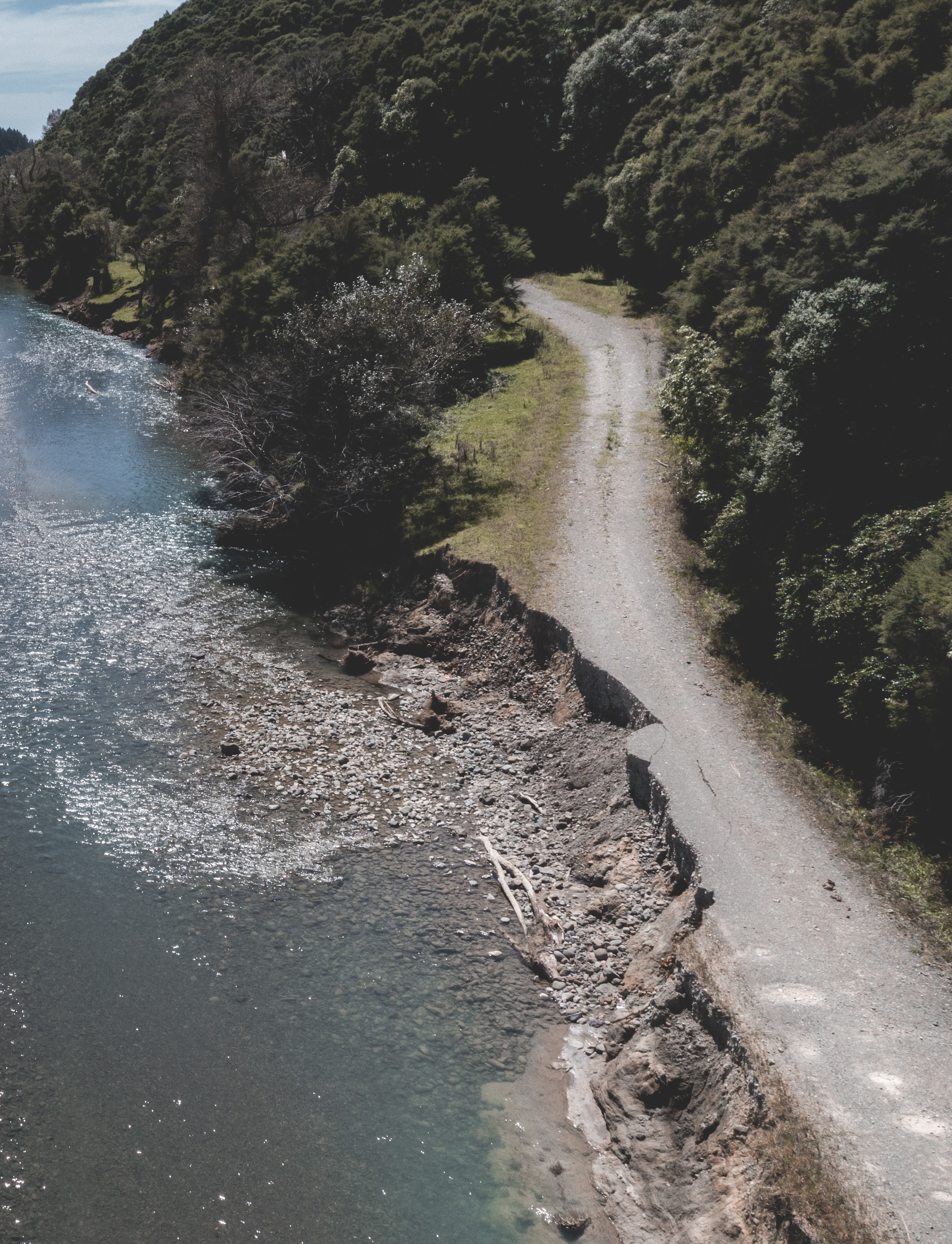
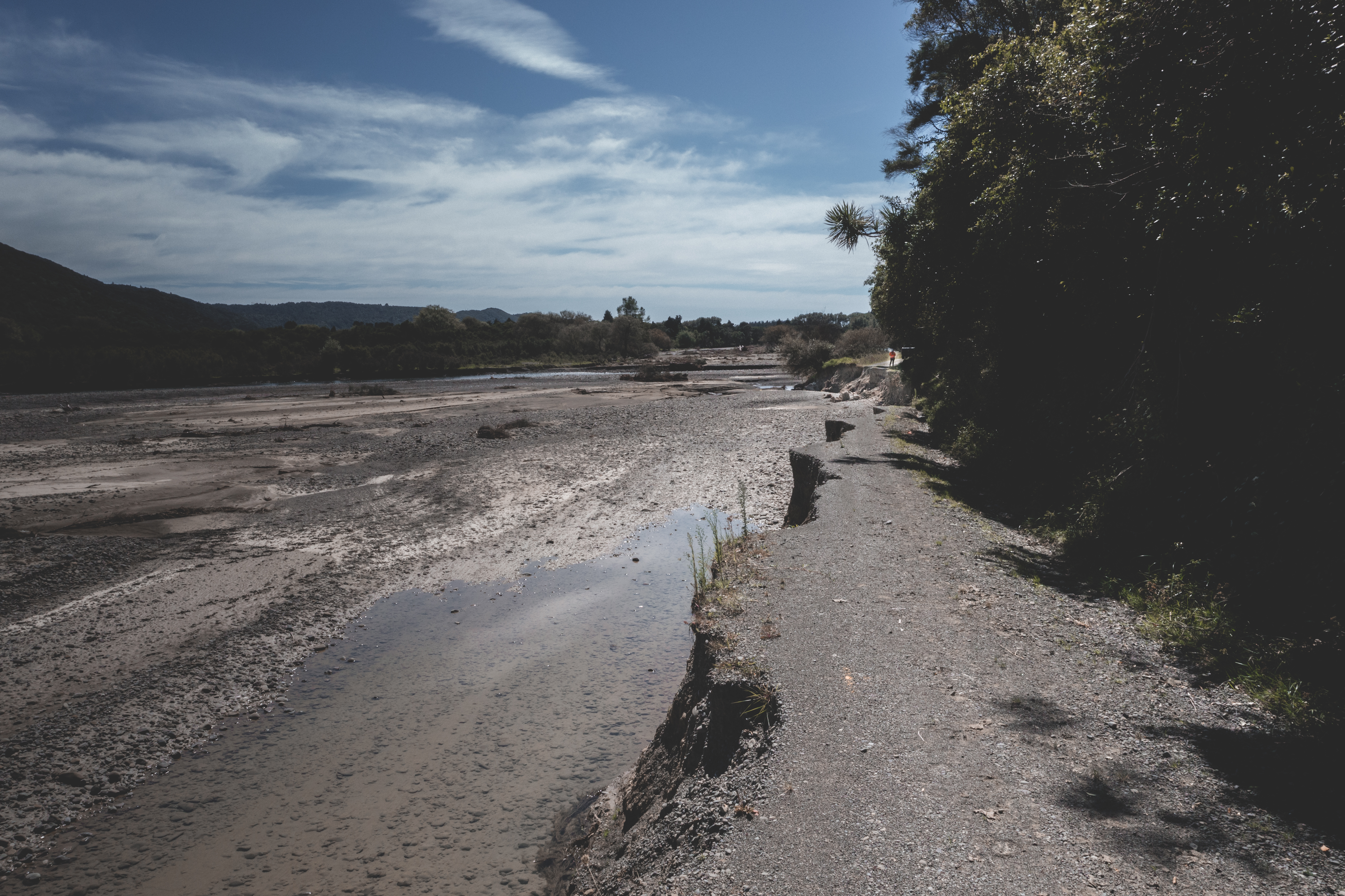
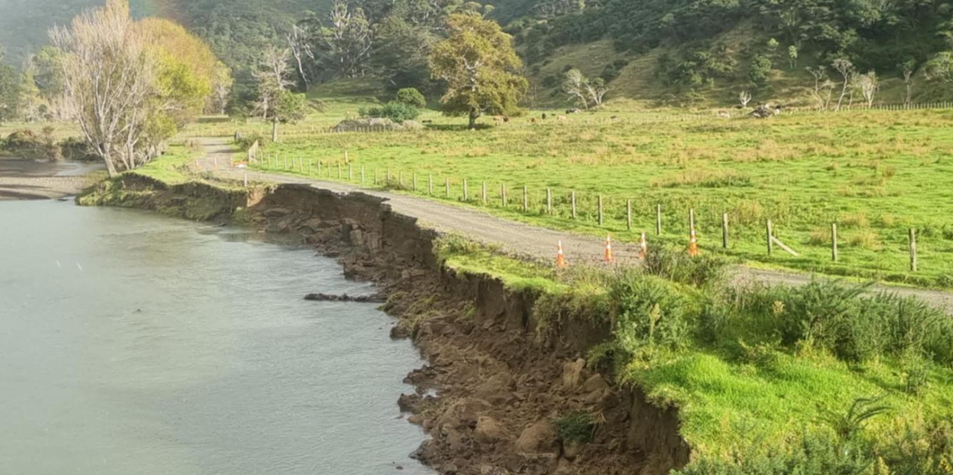
Our local road network is still very fragile
We have a huge amount of recovery work across our region see the programme of work
Map display of road closures
The map also shows state highways works, for more information on highways please visit NZTA Waka Kotahi
Local road information in detail
The map and table have the same information, but for some roads the table may have slightly more detail.
To report local road or bridge issues, please contact us
Tell us if you prefer the map or table view
We'd appreciate your feedback on whether you prefer the map view or table below tell us what you think on this quick form